AIRBORNE ELECTROMAGNETIC SURVEYS

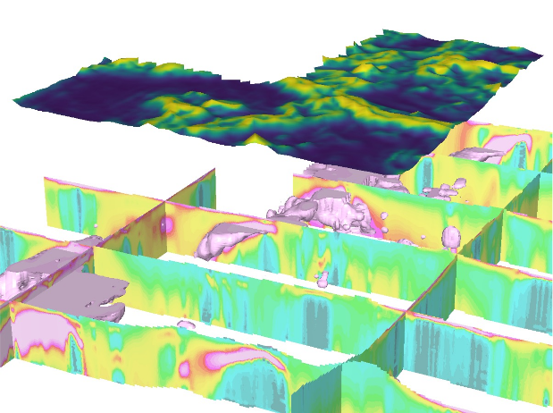
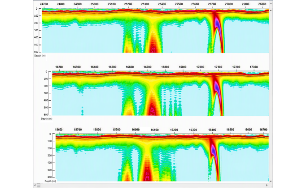
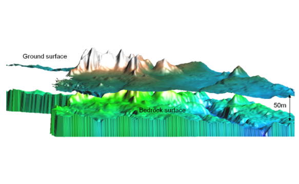
Airborne electromagnetic geophysical surveys are designed to generate high-resolution geological information across large survey areas.

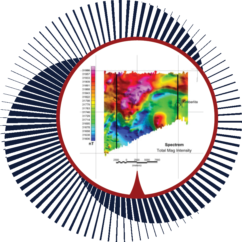
The surveys measure variations in the earth’s electromagnetic field to identify changes in subsurface geology.

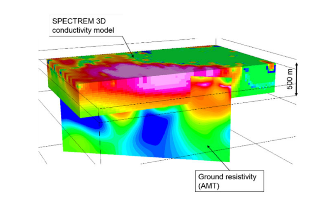
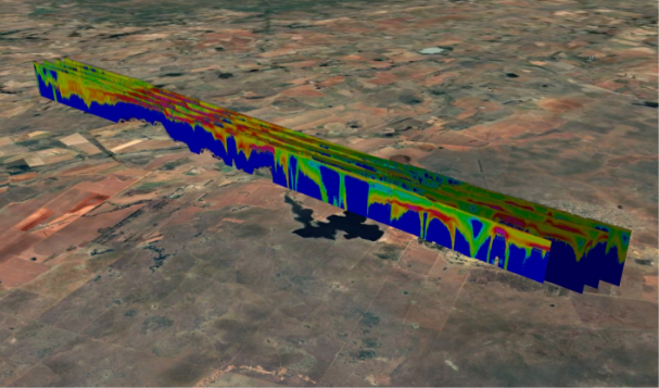
Processed results are delivered as:

These outputs provide a geological framework that helps exploration teams better understand the subsurface environment.

EXPLORATION LIFECYCLE

Airborne geophysical surveys play an important role in the early stages of exploration.

They allow exploration teams to:

By identifying priority areas early, airborne geophysics helps optimise exploration budgets and reduce unnecessary drilling.

Applications

Mineral Exploration

Airborne electromagnetic surveys support exploration for a wide range of minerals, commodities, and help map geological environments associated with mineral systems.

Hydrogeology and Water Exploration

Airborne geophysics can assist in identifying geological structures that influence groundwater systems.

This area is expected to play an increasing role in future exploration and infrastructure development.

Environmental Studies

Airborne electromatic surveys are a very efficient tool in mapping pollution and contamination.

Remote and Difficult Terrain

Airborne surveys allow efficient data acquisition in areas where ground access is limited.

Spectrem Air systems can operate in remote environments and from remote fuel bases, allowing surveys to be conducted far from established infrastructure.